 Metadados - GeoPortal / DF
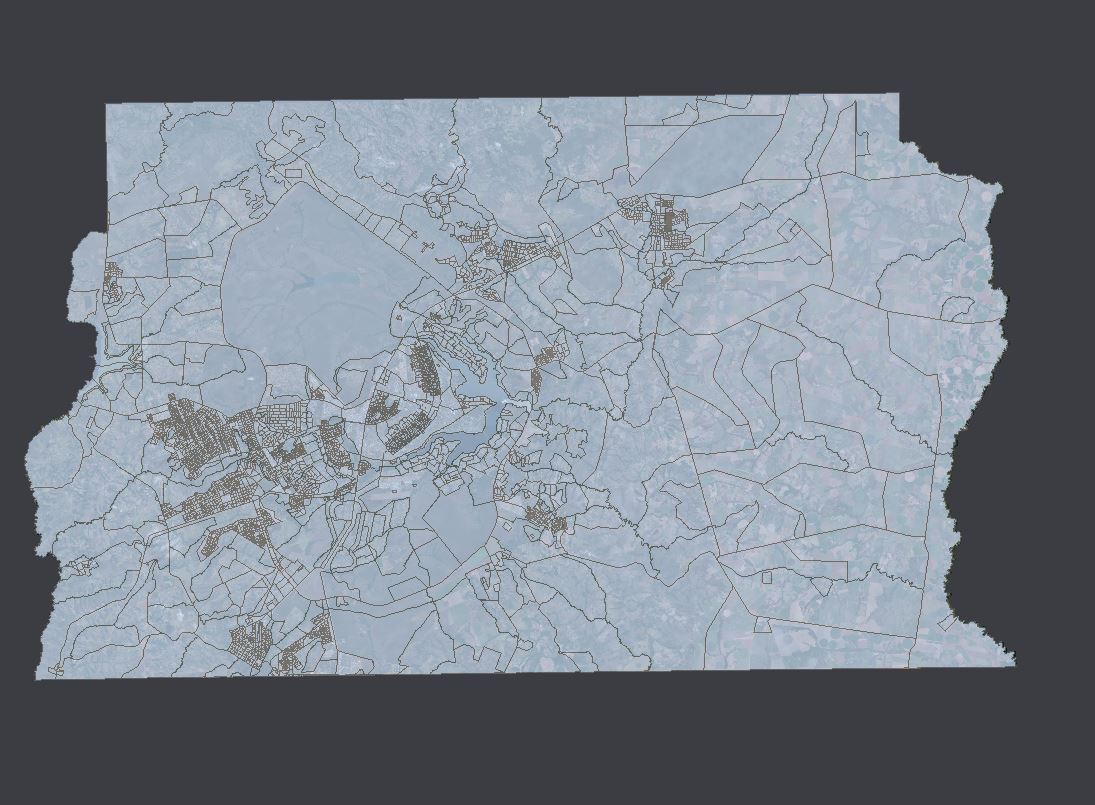
População por Setor Censitário
Mapa apontando os Setores Censitários estabelecidos pelo IBGE no Limite do Distrito Federal e suas dimensões territoriais. Nesse plano de informação é possível obter informações sobre o código setor, tipo de setor, quantidade de mulheres, homens e a população total do setor.
Simple
Identification info
- Date (Creation)
- Purpose
- Identificar a distribuição dos Setores Censitários estabelecidos pelo IBGE no Limite do Distrito Federal
- Credit
- Indisponível
- Status
- Completed
Originator
Indisponível
- Spatial representation type
- Vector
- Topic category
-
- Planning cadastre
N
S
E
W
))
- Keywords
-
- Setor Censitário
- Censo 2010
- População
- Densidade
- Language
- Portuguese
- Country
- Brasil
- Character encoding
- UTF8
Distribution Information
- Distribution format
-
- ESRI Shapefile
Resource lineage
- Statement
- Não informado.
Spatial representation info
- Topology level
- Geometry only
- Geometric object type
- Surface
Reference System Information
- Reference system identifier
- EPSG / 31983
mdb:MD_Metadata
- Metadata identifier
- urn:uuid / a666eeb9-604b-4cbc-8115-66ec13a1c9d2
- Language
- Portuguese
- Country
- Brasil
- Character encoding
- UTF8
Distributor
Diretoria de Geoinformações Urbanas e Territoriais (DIGEO)
Setor Comercial Norte, Quadra 01, Bloco A - Edifício Number One - Asa Norte - Brasília/DF, CEP: 70711-900
Plano Piloto - RA PP
70711-900
Brasil
Type of resource
- Resource scope
- Service
- Metadata linkage
- http://www.metadados.seduh.df.gov.br/geonetwork/srv/api/records/a666eeb9-604b-4cbc-8115-66ec13a1c9d2
- Date info (Revision)
- 2023-05-05T15:25:04
- Date info (Creation)
- 2020-07-17
- Title
- ISO 19115-3:2014
- Title
- Perfil MGB 2.0
Overviews
SETOR_CENSITARIO
Spatial extent
N
S
E
W
Provided by

Associated resources
Not available